*last updated October 2022
Mapping a solution for pastoralists with the “Shepherd's Eye in the Sky”
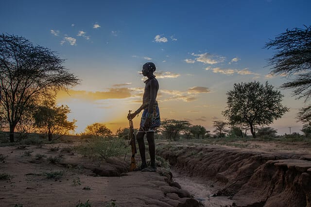
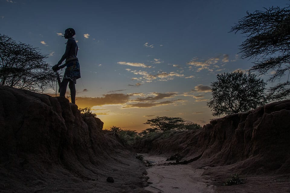
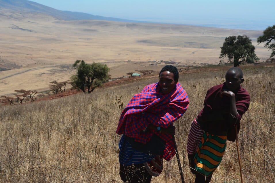
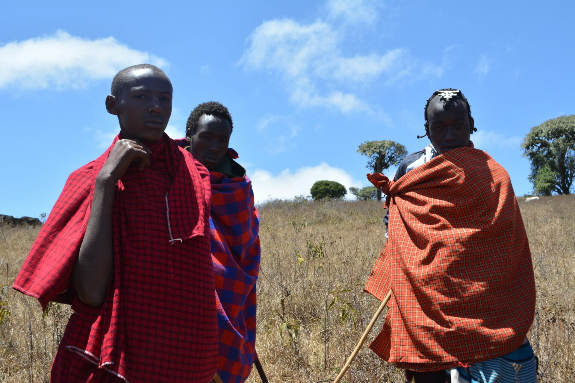
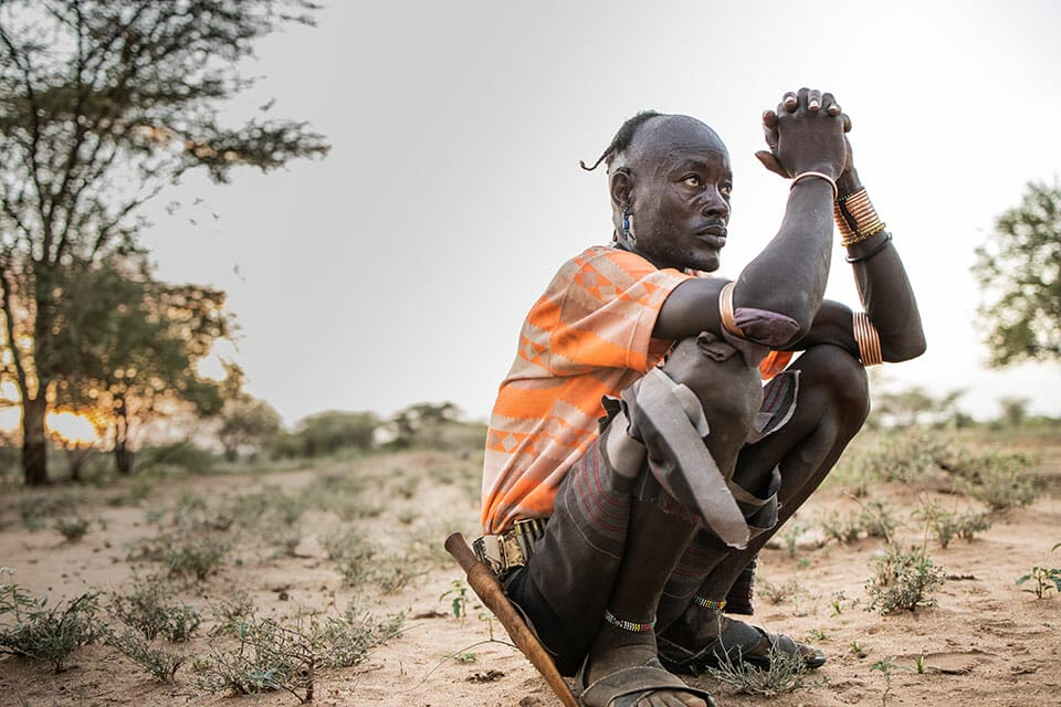
A quarter of a billion pastoralists (nomadic and semi-nomadic livestock herders) serve as the primary custodians of Africa’s drylands – an ecologically rich area that spans 42% of the continent’s landmass. With prolonged droughts and changing land use pressures, 65% of this land is degrading and up to 45% is impacted by desertification. As a result, on average, pastoralists are losing a quarter to a third of their herds each year due to an inability to find adequate pasture or water – a problem that has only been exacerbated by climate change.
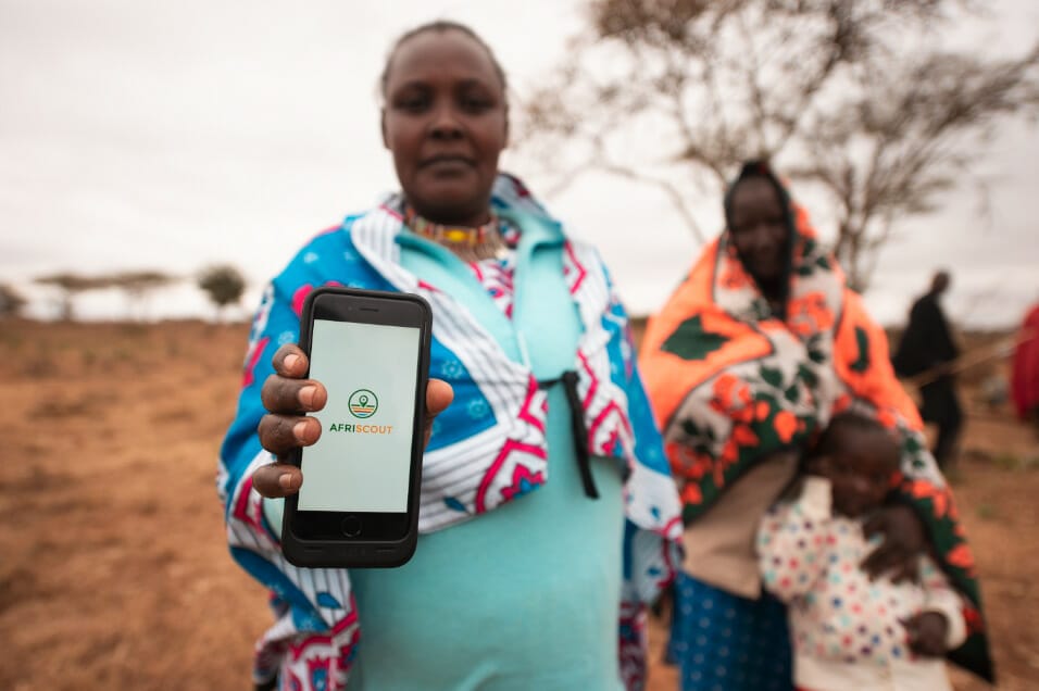
AfriScout is a digital service that was created by Global Communities (formerly PCI) to overcome these challenges by supporting pastoralists to improve their grazing practices and increase productivity.
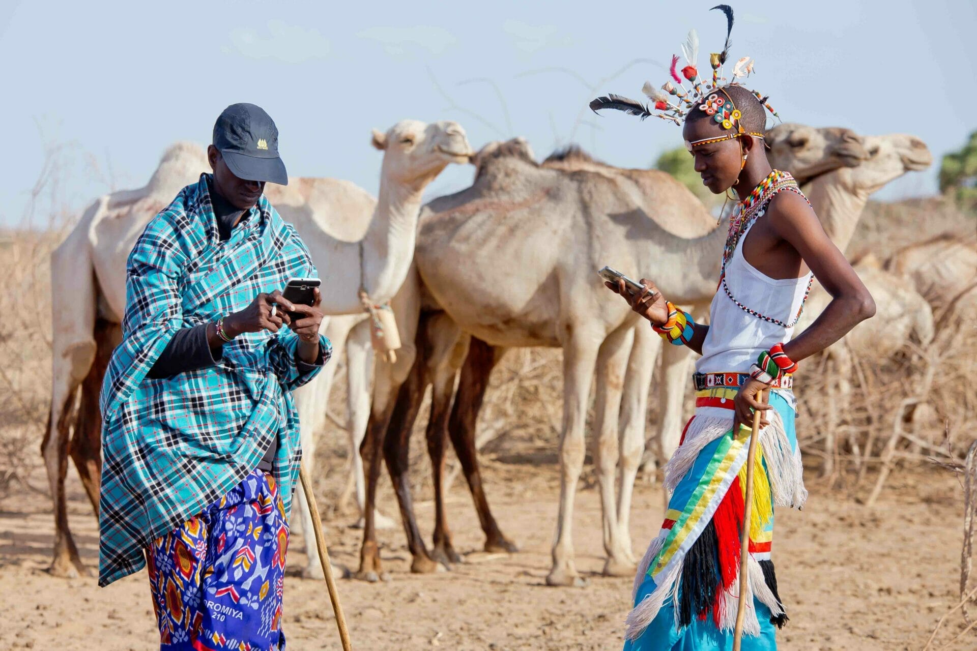
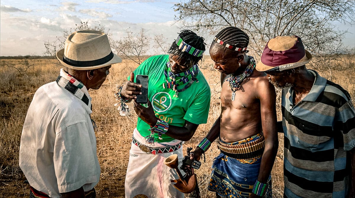
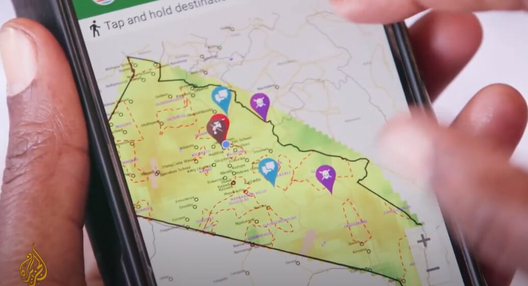
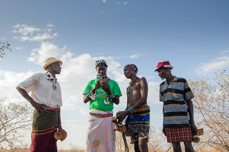
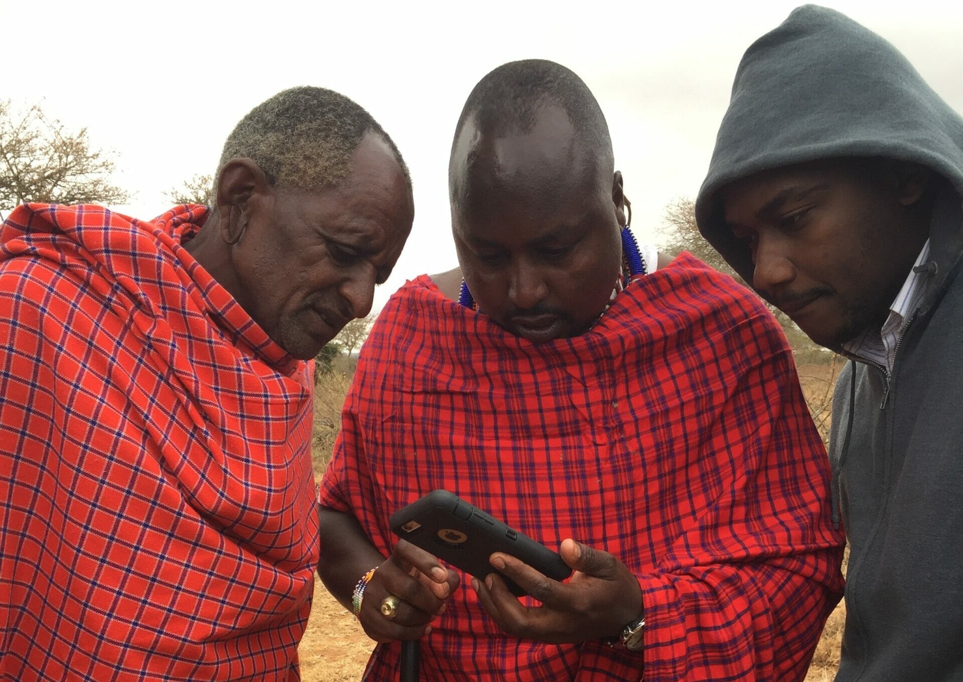
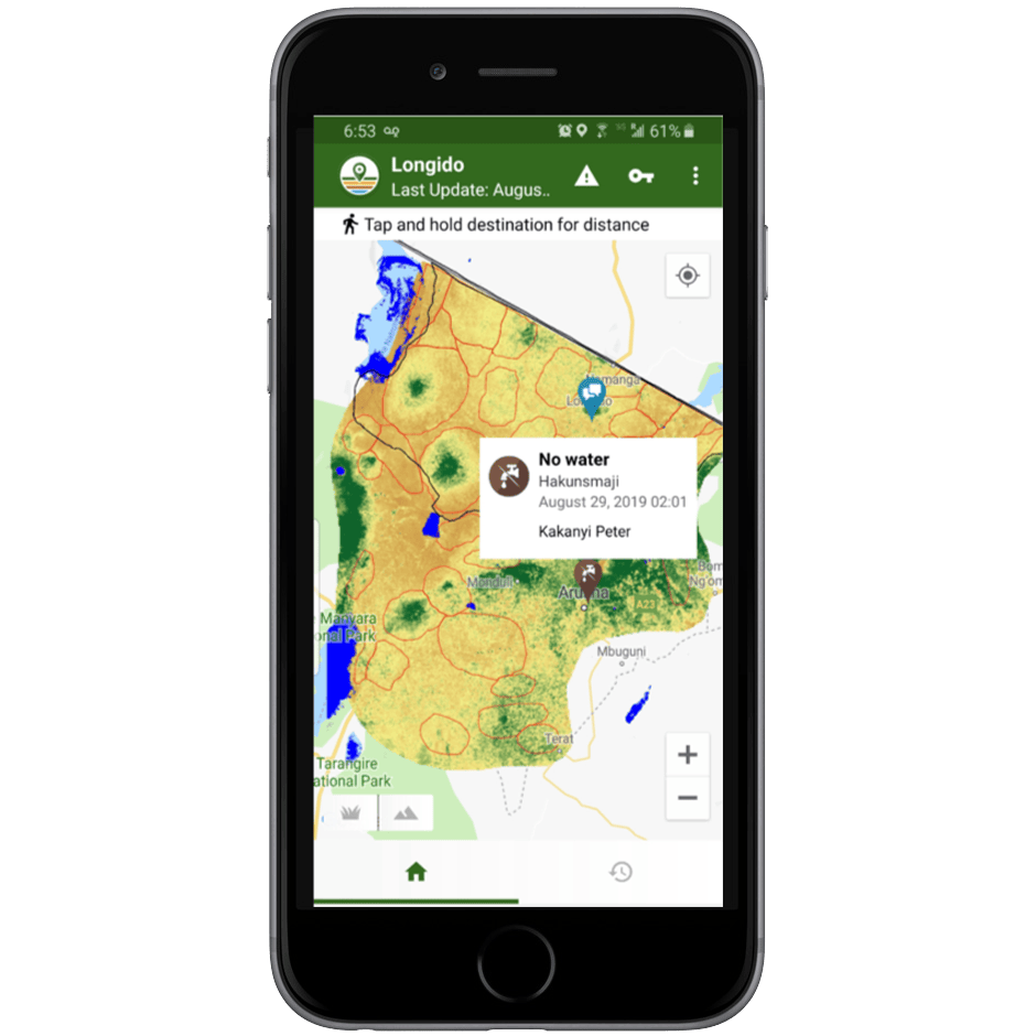
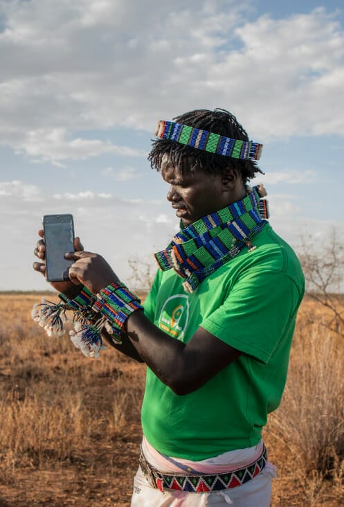
Using localized satellite imagery and crowd-sourced indigenous knowledge, the AfriScout mobile app acts as the “shepherd’s eye in the sky” by providing pastoralists with near real-time, visual data on forage and water conditions in the palm of their hand. Pastoralists use the digital grazing maps to better plan and coordinate grazing and to share geo-located alerts related to animal diseases, conflicts, or restricted grazing access, among others.
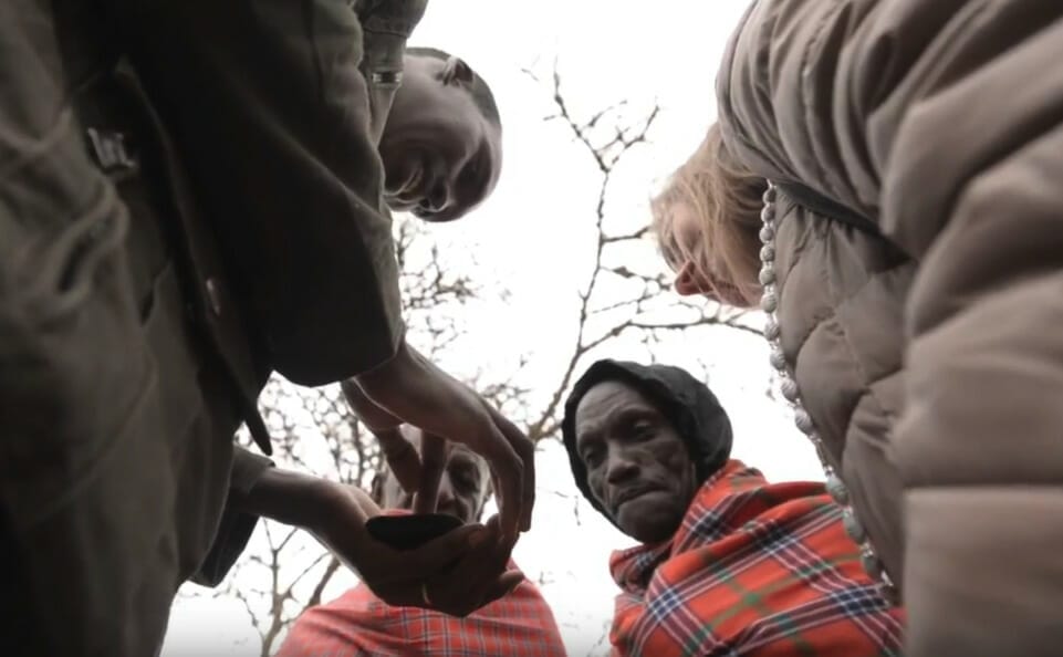
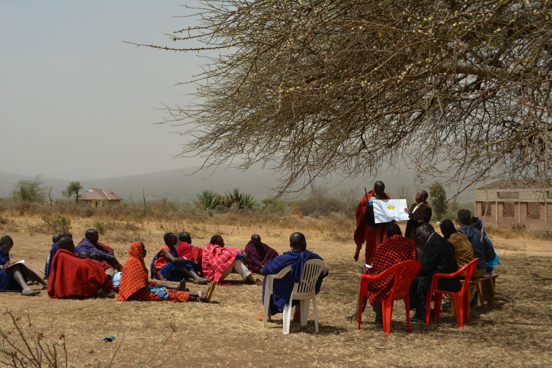
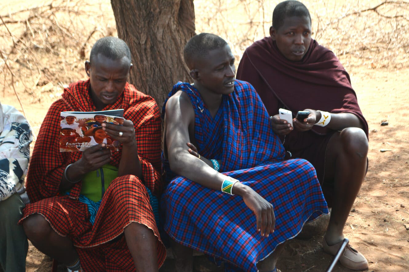
To further avoid conflicts and protect conservation and wildlife areas, our maps are restricted to the borders of customary rangelands which have been validated by host communities and local authorities. In each communal rangeland area, AfriScout field agents onboard new users and support existing users on how to maximize our service to improve their grazing management.
35,000+
AfriScout user accounts supporting 245,000+ households
59 million
hectares of rangelands mapped
9,000+
user-posted grazing alerts

Explore The App
- Monitor current rangeland conditions using localized grazing maps.
- The latest release displays vegetation and surface water resolution down to 10 m2.
- Reduces the data burden to only 20KB per map update, allowing cheap and fast downloads on unstable 2G networks.
- Share peer-to-peer grazing alerts (diseases, conflicts, restricted access, etc).
- Calculate distance to anywhere on the map.
- The latest release displays vegetation and surface water resolution down to 10 m2.
- The service is completed and functioning in 6 counties in Kenya, 4 districts in Tanzania and 16 woredas in Ethiopia.
- The app is fully functional offline.
- Available in English, Swahili, Qafarara and Oromifaa.
Regenerating Africa's Drylands: From climate change adaptation to mitigation
AfriScout initially started as a tool to enable pastoralists to adapt to changes in the climate, helping them become more resilient in the face of recurring droughts and other extreme weather events. Over the years, pastoralists have taught us how they are using AfriScout to better manage pasture. The app enables them to make smarter land management decisions through the practice of rotational grazing.
While industrial cattle farming is carbon intensive, regenerative grazing practices have proven that livestock can be better managed to grow grass and sequester carbon into the soil. Improving grazing management on global grasslands could sequester about 10% of annual human generated carbon emissions (International Union for Conservation of Nature & Natural Resources). Most regenerative grazing models and tools focus on smaller, private ranches, whereas over 40% of land in Africa is stewarded communally by pastoralists. This requires new tools and training tailored for these communities and landscapes.
We are working to enhance AfriScout’s technology using artificial intelligence to optimize grazing plans for land and herd health. Over the next five years, we want to launch these new features in 70 community rangelands to sequester carbon across 1.7 million hectares of rangeland and generate additional income for pastoralists through the carbon offset market. We estimate the initiative could sequester over 1.2 tons of carbon per hectare (tC/ha) each year for the next 20 years. This is the equivalent of preventing 728 million pounds of coal from being burned every year1.
As climate change threatens to trigger large scale hunger crises around the world, it is vital that we empower frontline communities like Africa’s pastoralists who are at once the hardest hit, yet also represent our most productive assets for food security and climate change mitigation.
1 www.epa.gov/energy/greenhouse-gas-equivalencies-calculator#results
Evidence of Impact
A three-year external study by Fordham University found that:
- 76% of AfriScout users consider our maps to be their most important information source for migration decision-making;
- 69% improved their ability to manage pasture; and
- 42% believed that AfriScout had reduced conflict.
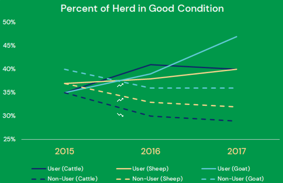
Moreover, the study found that pastoralists who have used our maps have increased their wealth by more than $4,600 (over a two-year period) relative to those who do not have access to the service. That is equivalent to $67 per cow.
76%
consider maps to be informative source.
69%
improved ability to manage pasture.
42%
reduction in conflict.
$4,639
attributable benefit for average herder.
Partnerships & Accolades
Since its inception, AfriScout has garnered support from Google, USAID, UBS Optimus Foundation and Hapke Family Foundation, among other public and private donors. In 2021, co-founders Chris Bessenecker and Jennifer Waugaman were selected as UBS Global Visionaries for their thought leadership and innovative efforts to test and develop new solutions that are moving the needle on the UN’s Sustainable Development Goals, namely climate action, life on land, zero hunger and no poverty. AfriScout was a Classy Award Winner for innovative, groundbreaking social impact programs, a Social Tech Guide Nominee Trust 100, and one of Venture Africa’s “10 African Tech for Good Startups to Watch in 2017.” In 2016, it was one of five finalists for the P3 Impact Award (Public-Private Partnership), where Bessenecker presented on the main stage at the Concordia Summit early in its development.
